Menu
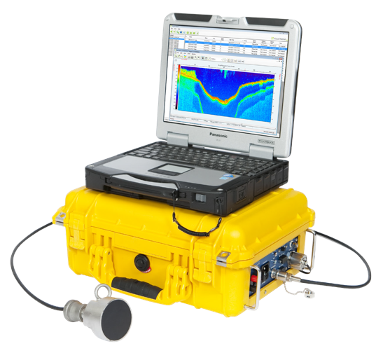
MX Aquatic Habitat Echo Sounder
Product Features
Portable, robust, weather resistant, and rugged with storage for cables and transducer
Calibrated scientific system
Complete with software for data acquisition, processing, visualization and mapping
Integrated DGPS – all data time-stamped and geo-referenced
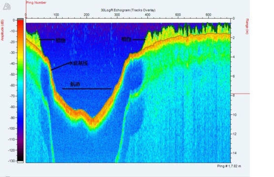
High resolution, full color echogram
Pole-mounted or hull mounted transducer options
Wired or wireless Ethernet operation from notebook computer
AC or DC (12V) operation
Low power consumption
Ping rate: 5 per second
Software Included
BioSonics MX Aquatic Habitat Echo Sounder System includes both Visual Aquatic and Visual Acquisition software.
Using data captured with Visual Acquisition, Visual Aquatic can quickly create layered, colored, and contoured maps or export edited data to CSV or KML file for third party GIS mapping. You can also easily import base maps (Google Earth, USGS, NOAA) and automatically generate geo-referenced, time-stamped data.
Bottom depth and substrate classification
Submerged Aquatic Vegetation (SAV) presence, canopy height from bottom, and density
Automatically view boat coverage transects
Automatically view transect echograms
Easily visualize, verify, and edit data using your mouse
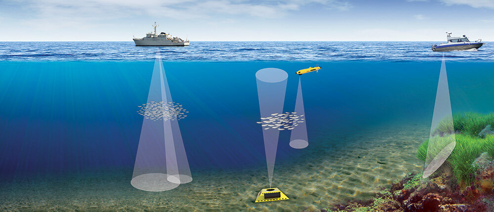
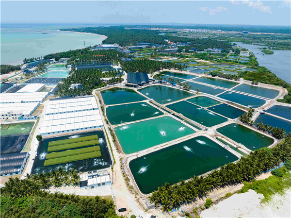 Aquaculture
 Water Environment Research
 Marine Research
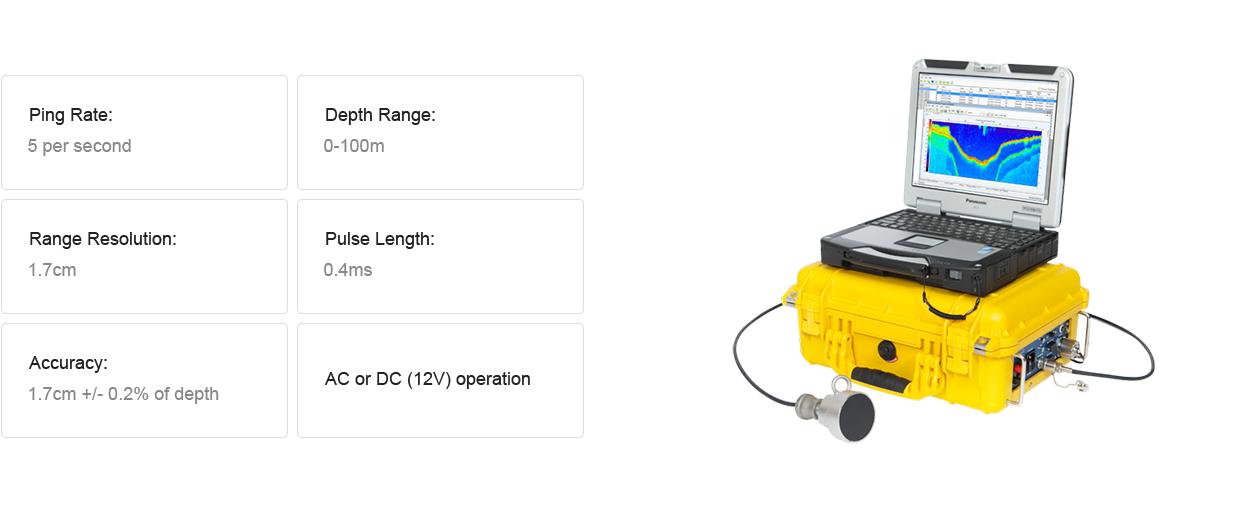
101, Thomson Road #28-03A United Square Singapore 307591
Delftweg 50, 2289 AL Rijswijk, The Netherlands
Hammerbrookstrasse 93,20097 Hamburg
8th Floor, Building 2, East China Normal University Science and Technology Park, 1038 Jinshajiang Road, Shanghai
Copyright ©2024 Zealquest Asia